8. Ais to Shobak
Stage 8 of 12
PHYSICAL CHALLENGE: 4 out of 5
DISTANCE: 61.3 km
APPROX. RIDING TIME: 5 – 6.5 h
Only moving time on your bike. Make sure to plan time for breaks, sightseeing, and other stops!
ELEVATION GAIN: +1382 m
ELEVATION LOSS: -1359 m
PAVED: 33 km (54 %)
UNPAVED: 28 km (47 %)
MAX. GRADE: 18 %
AVG. GRADE: 2 %
NEW FEATURE COMING SOON!
PHYSICAL CHALLENGE: 4 out of 5
DISTANCE: 61.3 km
APPROX. RIDING TIME: 5 – 6.5 h
Only moving time on your bike. Make sure to plan time for breaks, sightseeing, and other stops!
ELEVATION GAIN: +1382 m
ELEVATION LOSS: -1359 m
PAVED: 33 km (54 %)
UNPAVED: 28 km (47 %)
MAX. GRADE: 18 %
AVG. GRADE: 2 %

Description
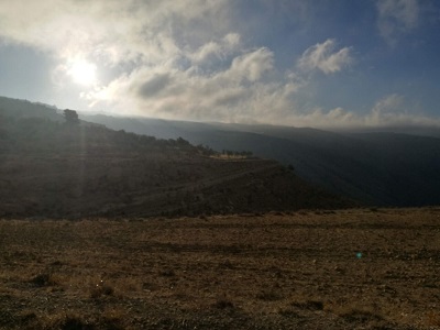
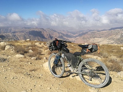
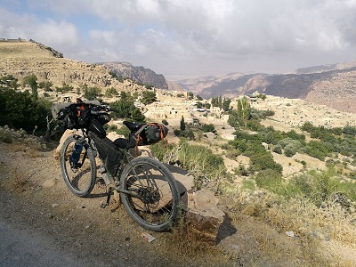
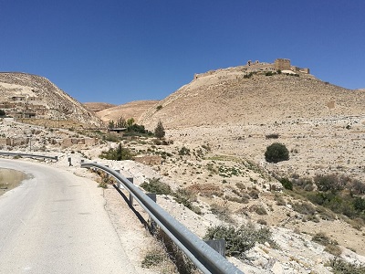
From Ais, continue to Ain al-Baida and descend to the rim of the impressive Wadi Ma’tan. Follow a picturesque dirt road along the rim of the canyon, before passing Busayra, climbing to 1500m, and descending along a technical single track to Dana. Take a break in Dana with expansive views of Wadi Feynan, before continuing along the rim of another beautiful valley to Shobak and its historic castle.
Food & Water
BEGINNING:
Ais has restaurants and well-stocked stores.
ON ROUTE:
Ain al-Baida has stores and restaurants (off-route but easy to reach by detour). There are small stores off-route in Busayra. Dana has accommodations, which serve food (easiest if you’re also staying here); Rashadiya has basic stores and a falafel shop.
END:
Shobak has grocery stores, a falafel shop, and a bakery.
Accommodation Options
-
-
- Ma’tan: Cela Rural Lodge (00962 7 7531 2651, ahmzh761@gmail.com)
- Dana: There are several options in Dana. We recommend the Dana Tower Hotel and the Dana Guesthouse
- Shobak: Hotel Montreal (0096232165440)
Camping
Potential campsites in tree groves before and after Dana (see map).
-
Transportation
Notes & Tips
- If you’re legs are feeling tired, consider splitting this day in two and taking two short days to Shobak. Dana is a lovely place to spend the day and has some wonderful hiking if you’re up for it (same for Shobak).
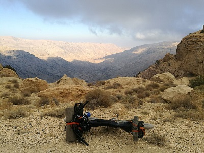
- The descent to Dana is rather technical and cluttered with loose rock — probably a hike-a-bike if riding loaded; if you want to avoid this technical descent, stay on the King’s Highway and descend to Dana on the paved road. Or, if you’re not staying in Dana, continue to Rashadiya on the King’s Highway, reconnecting with the official route there (this detour misses some wonderful views, though).
- There is a service station with ATM just off-route in Ain al-Baida.
Sights
-
- Ma’tan Village
- Wadi Ma’tan and Wadi Feynan
- Dana Village & Dana Nature Reserve
- Shobak Castle

Sorry, the comment form is closed at this time.